Central America Travel Guide
Central America at a Glance
Number of Countries
Central America consists of 7 countries located between Mexico and Colombia.
Best Time to Visit
The period from December to April generally has lower rainfall and more predictable travel conditions. Rainfall increases during other months, especially in lowland and Caribbean-facing areas.
Ideal Trip Length
10 to 14 days allows enough time to explore 1 or 2 countries without rushing between locations. Longer trips are better suited to travellers moving overland or spending time outside major cities.
Top Experiences
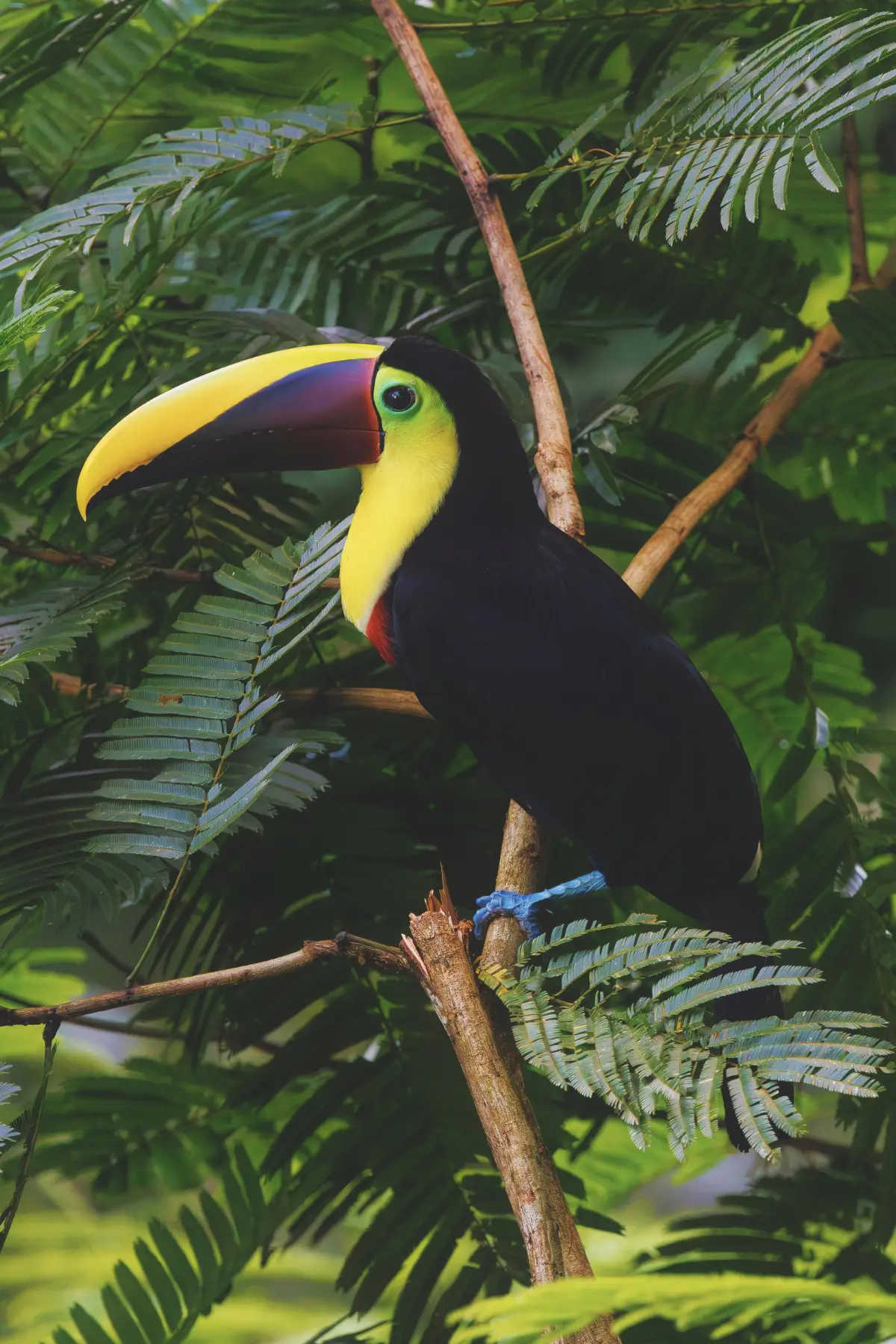
Travel often centres on volcanic regions, lakes, archaeological sites, coastal areas, and protected natural spaces. Local food, markets, and small towns are an important part of most itineraries.
Languages
Spanish is the primary language across most of Central America. English is widely spoken in Belize and commonly used in tourism in other countries. Indigenous languages remain in regular use in some regions.
Currency
Most countries use their own national currency. The US dollar is officially used in El Salvador and widely accepted in Panama and tourist areas elsewhere. Cash is useful for local transport and smaller businesses.
Why Travel to Central America

Geographic Range Within Short Distances
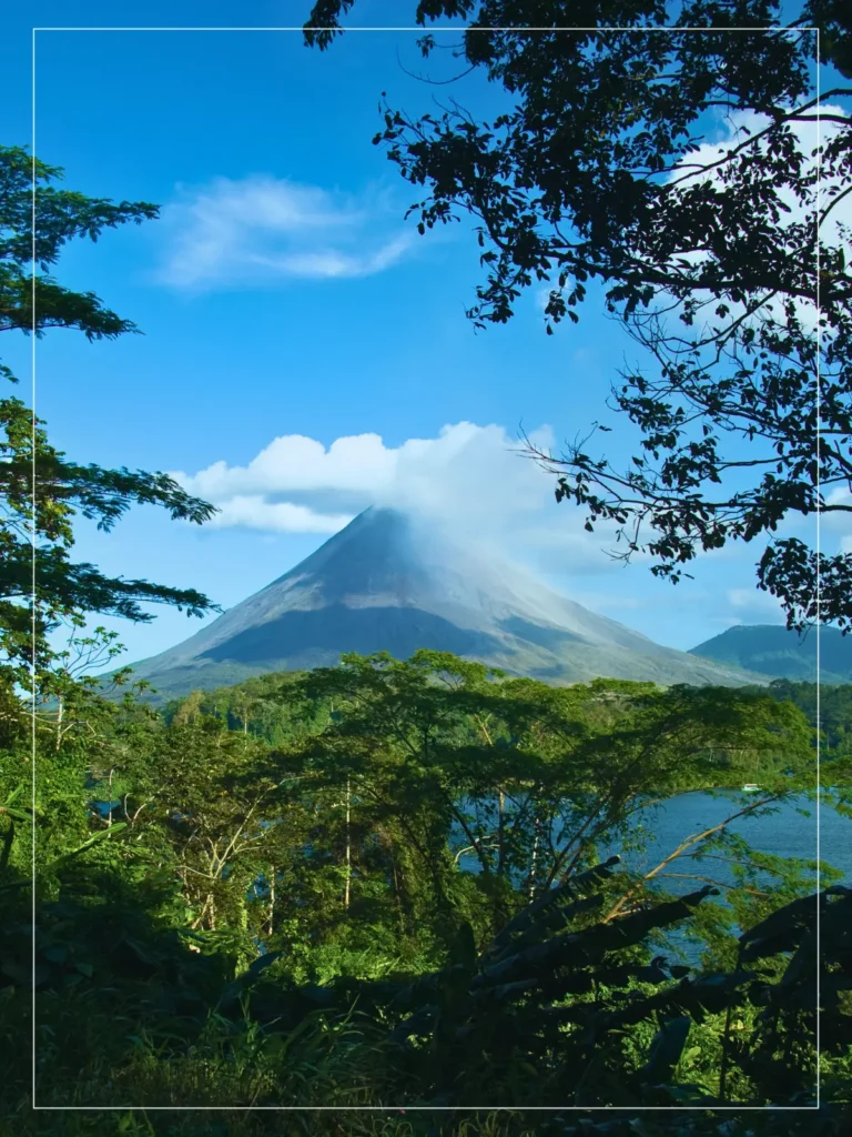
Central America makes it possible to move between highland interiors, volcanic zones, inland lakes, rainforest areas, and two distinct coastlines within a single trip. These shifts happen over relatively short distances, which affects how routes and travel days are planned.
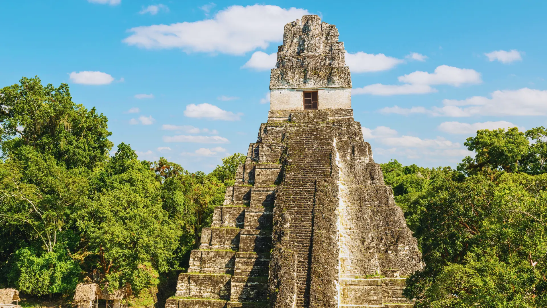
Historical Landscapes
Climate and Travel Conditions
Infrastructure Differences
Transport networks and visitor services vary across the region. Countries such as Costa Rica and Panama have more developed systems. Others require more attention to timing, transfers, and availability. This variation often determines how trips are structured across multiple countries.
Regional Food Traditions
Transport networks and visitor services vary across the region. Countries such as Costa Rica and Panama have more developed systems. Others require more attention to timing, transfers, and availability. This variation often determines how trips are structured across multiple countries.
Scale and Travel Flexibility
Getting Around Central America
Overland Travel
Overland travel is the main way to move between Central American countries. Buses and shared vans link major cities and border towns. This includes routes between Guatemala City, San Salvador, Managua, and San José.
Travel time depends more on terrain and border crossings than on distance. Mountain roads and border crossings such as Peñas Blancas between Nicaragua and Costa Rica often add delays. As a result, travel days are usually planned around daylight rather than mileage.
Local buses serve short routes, while international coaches operate fixed cross-border services. Travellers usually mix transport types depending on route and timing.
Air Travel
Flights are mainly used to connect major hubs or reduce long overland journeys. Routes between cities such as Panama City, San José, and Guatemala City operate regularly and are often used when time is limited.
Domestic flights are useful in areas where road travel is slow or indirect. This is particularly relevant for reaching coastal or remote regions such as Bocas del Toro in Panama or parts of northern Costa Rica. Weather can affect schedules, especially during rainy months.
Water Transport
Water transport is limited to specific areas rather than used across the region as a whole. Boats and ferries are used in specific areas for reaching islands and crossing lakes. Common routes include access to Belize’s cayes, transport around Lake Atitlán in Guatemala, and travel to the Corn Islands in Nicaragua.
Services operate based on weather and demand. Schedules are often informal, and travellers typically confirm departure times locally rather than relying on published timetables.
Regions of Central America
Northern Highlands
This region includes much of Guatemala and western Honduras. Travel here is shaped by elevation, cooler temperatures, and mountainous terrain.
Routes often pass through highland towns, agricultural areas, and archaeological sites. Travel times are slower than distances suggest due to winding roads and altitude.
The best time to visit is during the drier months, when road conditions are more reliable, and visibility is better in highland areas.
Pacific Corridor
Stretching from southern Guatemala through El Salvador, Nicaragua, and into Costa Rica, the Pacific side is defined by volcanic landscapes, coastal plains, and larger population centres.
Roads are generally better developed here, and overland travel between cities is more straightforward.
This region is commonly used as a backbone for multi-country routes due to its transport links and border accessibility.
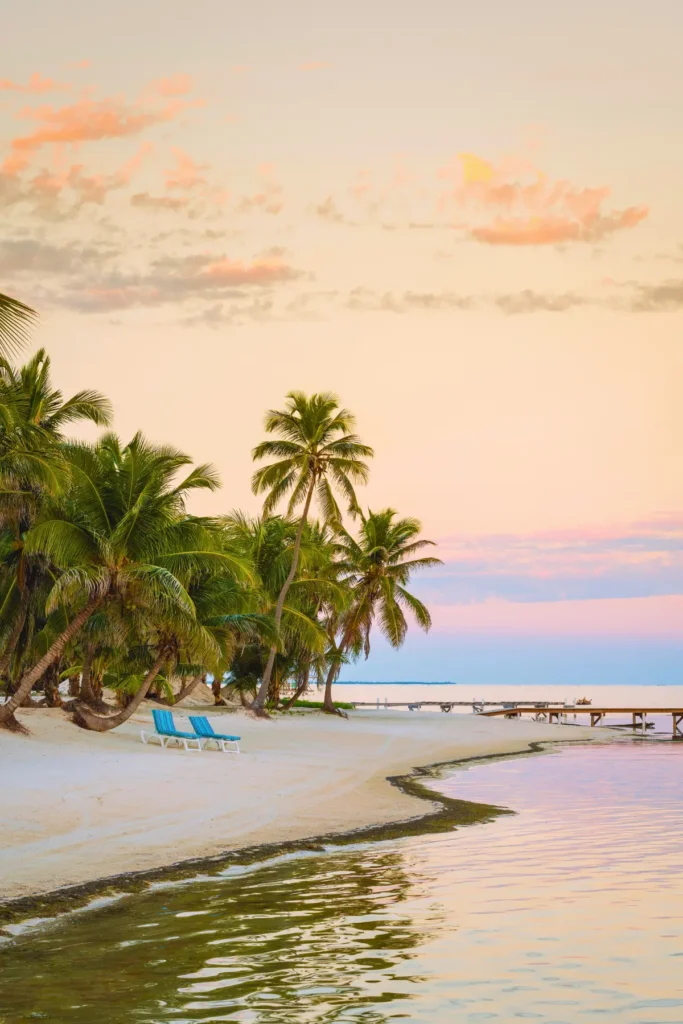
Caribbean Coast
The Caribbean side of Central America includes parts of Belize, Honduras, Nicaragua, Costa Rica, and Panama. Travel here is more fragmented.
Road access is limited in places, and boats are often required for island and coastal travel. Weather patterns differ from the Pacific side, with higher rainfall spread across the year.
Trips in this region are usually planned with extra buffer time for transport and weather changes.
Southern Isthmus
Southern Central America is centered around Costa Rica and Panama, where transport infrastructure is more developed than elsewhere in the region. San José and Panama City serve as major hubs for flights, shipping routes, and overland travel between North and South America.
Volcanic mountain ranges, lowland rainforests, and coastlines on both the Pacific and Caribbean sides shape the region’s geography. These landscapes sit relatively close together, though travel times can still be influenced by terrain and road conditions.
Planning travel here is generally straightforward. Border crossings are well established, and transport networks are reliable in most areas, even if distances between destinations can be longer than expected.